Lars Becker · 3 September 2026
Birchvale Residents Convert Stream Monitoring Insights into School-Conservation Workshops
Residents in Birchvale have taken water quality readings from local streams and turned those measurements into structured workshops that connect elementary and middle school classrooms with established conservation organizations operating in the region, and this approach has grown steadily since initial pilot sessions began several years ago.
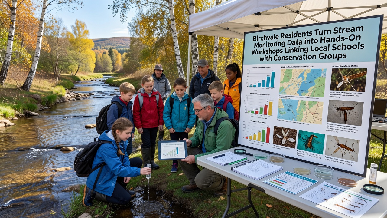
Data collected on parameters such as dissolved oxygen levels, pH balance, and macroinvertebrate populations now serve as the foundation for lesson plans delivered both in classrooms and along stream banks, while participants learn to interpret readings and apply findings to habitat improvement projects coordinated through groups like the Birchvale Watershed Alliance.
Origins of the Data Collection Effort
Stream monitoring in Birchvale started with volunteer teams using standardized kits provided through partnerships with state environmental agencies, and over time the accumulated records revealed seasonal patterns in water temperature and sediment loads that aligned with upstream land use changes documented in municipal planning reports.
Those who organized the monitoring noted that raw numbers alone rarely reached students or prompted direct action, which led several residents to propose adapting the information into interactive sessions where participants could replicate sampling techniques and compare results against historical datasets maintained by the United States Geological Survey.
Workshop Structure and School Integration
Each workshop series begins with an indoor orientation that reviews recent monitoring results, followed by a field component where students collect new samples under supervision from both teachers and conservation volunteers, and sessions typically conclude with group discussions on how findings connect to broader watershed management goals outlined in regional conservation plans.
Schools in the Birchvale district have incorporated these activities into existing science curricula for grades four through eight, and scheduling often aligns with the academic calendar so that fall monitoring data feeds into spring restoration planning meetings held jointly with local conservation partners.
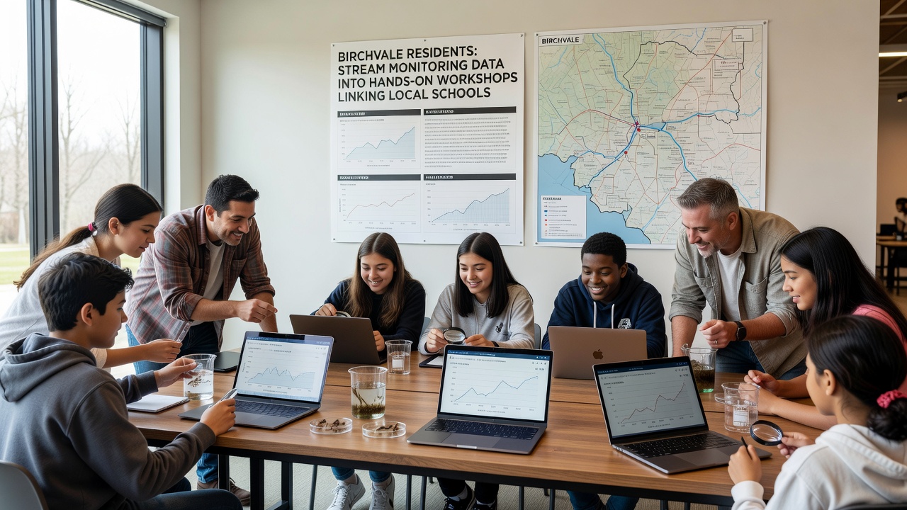
September 2026 marks the scheduled launch of an expanded module that adds real-time sensor data feeds from three additional monitoring stations along the main branch of Birchvale Creek, allowing students to track changes more frequently and compare them against baseline figures released earlier in the year by the Environmental Protection Agency's citizen science resources.
Partnerships and Resource Sharing
Conservation groups supply equipment and technical guidance while schools provide classroom space and coordinate transportation for field trips, and this division of responsibilities has allowed the program to operate without dedicated full-time staff beyond the resident volunteers who originally compiled the monitoring records.
One study conducted by researchers at a nearby state university examined similar citizen-science linkages in other watersheds and found that joint workshops increased student understanding of water chemistry concepts by measurable margins compared with traditional textbook instruction alone.
Materials developed for Birchvale sessions draw on protocols established by Environment and Climate Change Canada for volunteer monitoring programs, which emphasizes consistent data recording methods that allow comparison across different geographic areas and time periods.
Outcomes and Ongoing Adjustments
Student groups have used workshop findings to identify erosion hotspots and propose simple stabilization techniques that conservation partners later implemented during scheduled workdays, and follow-up measurements taken the next season showed reductions in turbidity at several sites.
Program coordinators track participation numbers and share aggregated results through community newsletters rather than formal academic channels, yet the approach has drawn interest from neighboring towns seeking to replicate the model using their own stream datasets.
Adjustments continue based on feedback collected after each cycle, including requests for more emphasis on native plant identification during field portions and clearer explanations of how macroinvertebrate counts relate to overall stream health indicators published in federal water quality assessments.
Conclusion
The Birchvale initiative demonstrates how localized stream monitoring records can translate into repeated educational opportunities that strengthen ties between schools and conservation organizations, with the September 2026 expansion expected to incorporate additional sensor technology and broaden the range of accessible data points for participants.
Continued collaboration depends on sustained volunteer involvement and alignment with district curriculum requirements, while the underlying datasets remain available for review through public portals maintained by participating agencies.